Services
Ground intelligence.
Engineering solutions.
A comprehensive service platform spanning investigation, testing, geotechnical consultancy, hydrogeology, geophysics and topographical surveying.
01 / Service portfolio
One investigation programme. Multiple capabilities.
Services can be combined according to site conditions, project type, design stage and investigation objectives.
Geotechnical Consultancy
Basic Geotechnical Engineering Services
- Geotechnical Interpretative Reports (GIR)
- Proof Checking and Peer Review of Third Party Foundation Designs
- Design of Shallow Foundations
- Design of Deep Foundations
- Ground Improvement Solutions
- Instrumentation and Monitoring Solutions
- Forensic Analysis and Construction Claims
- Design of Hardstands
- Design of Tank Foundations
Advanced Geotechnical Engineering Services
- Soil Structure Interaction (2D and 3D Finite Element Analysis)
- Design of Deep Excavation Support Schemes in Urban Areas
- Slope Stability and Seepage Analysis
Field Investigation & Drilling
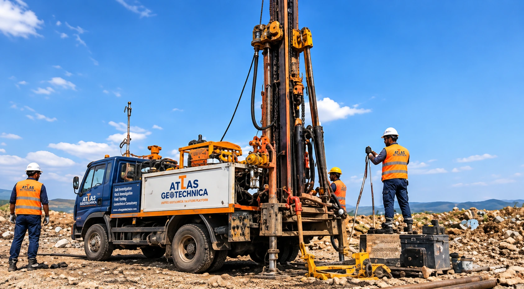
- Exploratory Borehole Drilling: Soil and rock drilling to depths of up to 150 m using mechanized and hydraulic drilling rigs.
- Standard Penetration Testing (SPT): In-situ soil resistance assessment using conventional and automatic trip-hammer systems.
- SPT Energy Measurement: Measurement and evaluation of actual hammer energy delivered during SPT using specialized analyzer systems.
- Undisturbed Soil Sampling: Shelby tubes, Mazier samplers, piston samplers and other appropriate systems.

In-Situ Soil & Foundation Testing
- Static & Cyclic Plate Load Tests: Bearing capacity, load-settlement behaviour and deformation characteristics.
- Footing Load Tests: Full-scale field loading using customized load-frame arrangements.
- Field Vane Shear Test (VST): Undrained shear strength and sensitivity of soft cohesive soils.
- Dynamic Cone Penetration Tests (DCPT): Rapid assessment of subsurface resistance and relative soil density/strength.
- TRL-DCP: Pavement and subgrade characterization using the TRL-based penetration method.
- Field CBR: In-situ subgrade strength evaluation for road and pavement design.
Permeability & Hydrogeological Investigations
- Single & Double Packer Permeability Testing: In-situ rock mass permeability and hydraulic conductivity for foundations, tunnels, dams and underground structures.
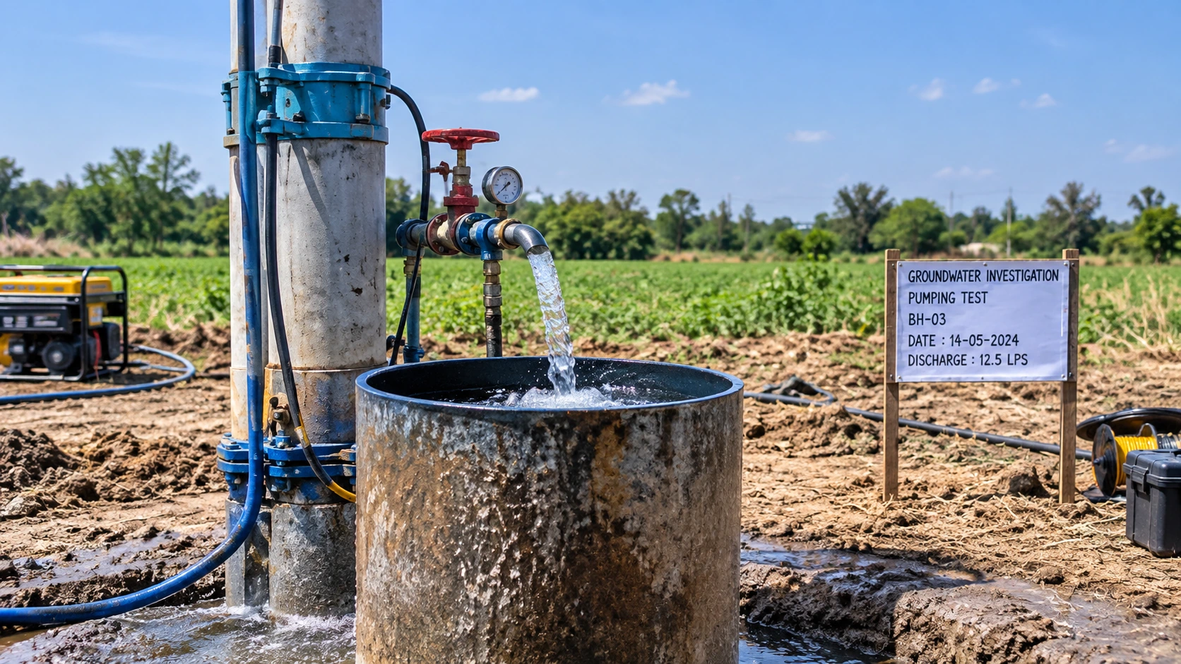
- Full-Scale Pump-Out Testing: Aquifer and groundwater response testing for construction dewatering system design and assessment.
- Hydrogeological Reconnaissance: Site and regional groundwater condition assessment.
- Groundwater Potential & Aquifer Characterization: Identification of groundwater-bearing formations and hydraulic properties.
- Groundwater Monitoring: Static/dynamic water levels, seasonal monitoring and groundwater flow assessment.
- VES/ERT: Identification of potential groundwater-bearing zones and subsurface geological variations.
- Borewell & Tube-Well Site Investigation: Identification and assessment of suitable abstraction locations.
- Pumping & Aquifer Tests: Transmissivity, storativity, hydraulic conductivity and well-yield assessment.
- Step-Drawdown, Constant-Rate & Recovery Tests.
- Recharge Assessment, Water Quality Sampling, Dewatering Studies, GIS Mapping and Groundwater Resource Assessment.
Geophysical & Specialized Testing
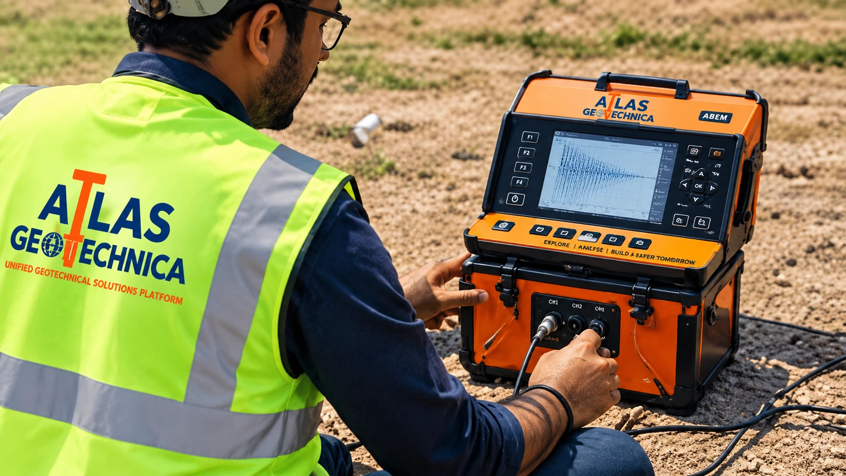
- Electrical Resistivity Tomography (ERT): Non-invasive investigation for geological boundaries, groundwater conditions, cavities, fractures and subsurface material variations.
- Thermal Resistivity Testing (TRT): Determination of soil thermal resistivity for underground electrical transmission and cable systems.
Topographical Surveys
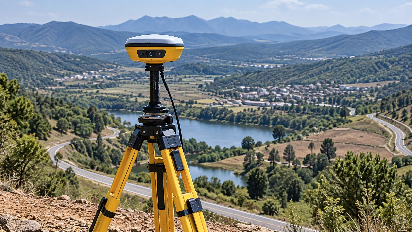
- Detailed topographical surveys for infrastructure, industrial, residential, mining and development projects.
- Contour and elevation surveys.
- Digital Terrain Model (DTM) and Digital Elevation Model (DEM) generation.
- Total Station surveys.
- GPS/GNSS-based surveys and control-point establishment.
- Longitudinal and cross-section surveys for roads, railways, canals, pipelines, rivers and linear infrastructure.
- Route alignment surveys for highways, railway corridors, transmission lines, pipelines and utilities.
- Drainage and catchment surveys.
- Existing Ground Level (EGL) and formation-level surveys.
- As-built and construction surveys.
- Area, volume and earthwork calculations.
- GIS-based mapping and spatial data integration.
Capability network
Scale to the project.
Atlas Geotechnica works with multiple specialist contractors with high-end drilling capabilities, maintains tie-ups with multiple NABL-accredited laboratories, and provides high-precision in-house testing through experienced engineers.
Discuss Your Requirement